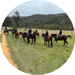
Chapman's has been hands down the best trail riding experience that I've had in Australia, it is so worth the trip and realistically is not that far from either Sydney, Central Coast or Newcastle.
We wanted something that would give us the freedom to trot, canter, and really enjoy the Australian landscape on well-cared-for horses. Chapman Valley delivered that and so much more!
Not a typical nose-to-butt trail ride. Chapman valley horse riding was one of the best horse riding experiences I’ve had to date.
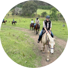
The horses are so well cared for, the saddles are good quality and comfortable, the staff and guides are lovely (and organised) and the food is great.
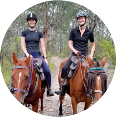
What sets Chapman Valley apart is the staff - they are absolutely wonderful! So friendly and welcoming, you get the feeling you're staying with family
These guys are fanatical about horse welfare and guest safety, the guides are helpful but never intrusive and cater for all levels of riders.
We had such a great time on the 3-day cattle muster. The accommodation was beautiful, guides we very friendly and accommodating, horses very well cared for.
I have never seen the Milky Way so clearly other than being in the middle of ocean. Do it!
A very nice quiet stay in a beautiful surroundings. Nice flat and grassy camp site and very friendly staff.
Amazing location and experience. No reception is GREAT. Ideal getaway. Lovely team and family run business.
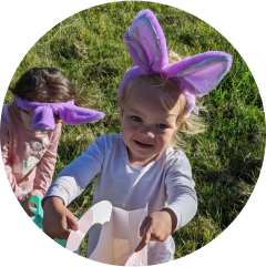
Our family enjoyed horse riding, marshmallow roasting, taking in the wildlife and cows roaming, slowing down and 4WDing on the tracks.
I did the 3 day cattle muster and loved it! They take you all over the property and you get to ride and find cattle on all sorts of terrain.
The campsites were well-maintained and offered plenty of privacy. I loved hiking the nearby trails and enjoying the peace of nature.
Magical scenery, walking tracks, some 4wd tracks all of which are all marked out and easy to follow
Leave a comment
Your email address will not be published. Required fields are marked